The lowest of the low
Getting into Washington, I hit the lowest section of the entire PCT, known as the Bridge of the Gods. It sits at about 55 m / 180 ft above sea level. Naturally, hitting the lowest point meant there was a lot of climbing ahead. Right then, I had what felt like the deepest existential crisis I’d experienced on trail. I’d had doubts before, sure, but this time it really made me question why I was even doing this.
I decided to say, “fuck it,” and just find a place to camp. On the way up, I even managed to jump into a small lake, which was refreshing. I thought I’d find a nice spot to set up, relax, and re-evaluate everything tomorrow. Maybe I’d take it slow, listen to music, sing a little, basically anything to stop these low feelings from taking over. I found out that usually the general mindset is better in the mornings. To make the day even more challenging, a rat chewed through my tent, tore into my food bag, and got into my peanuts. So that had to be dealt with as well.
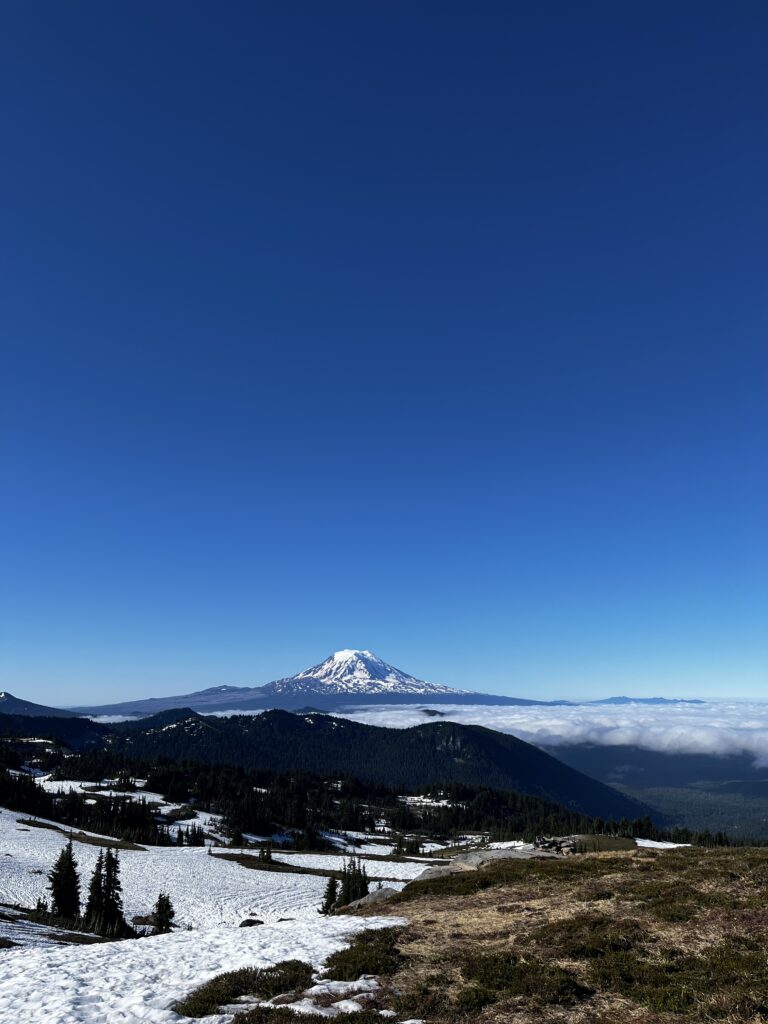
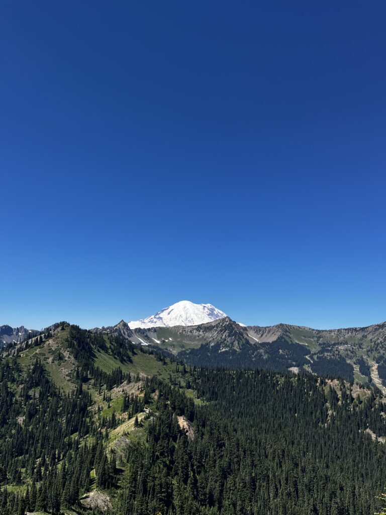
The first couple of days in Washington were relatively uneventful, but the scenery started changing as we began to see more mountains in the background. Mount Adams loomed majestically in the distance. Knowing I was still on schedule, I decided to take it slower and enjoy the views.
My goal was Trout Lake, a tiny town with only a few hundred residents. Despite its size, it was famous among hikers for its burritos, made by a local vendor sourcing meats from nearby farms. I couldn’t pass that up, so that’s exactly where I headed.
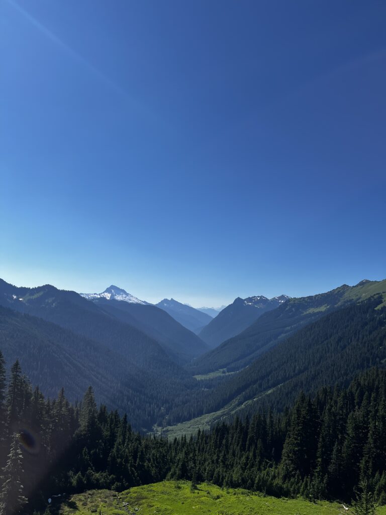
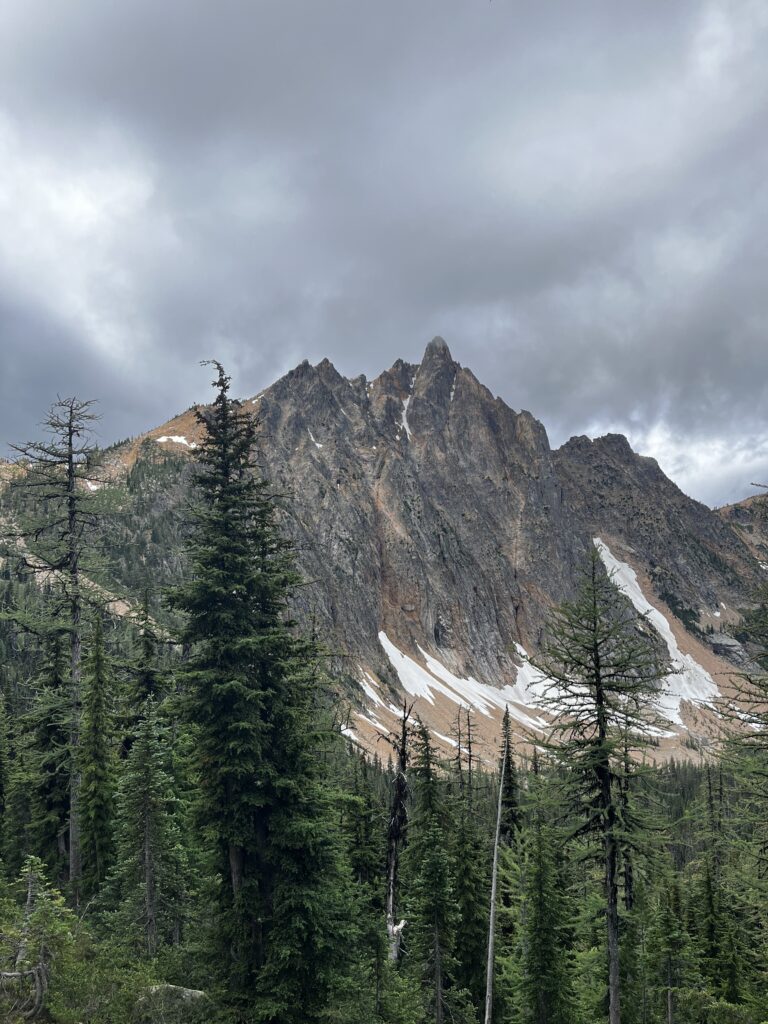
Back to the views
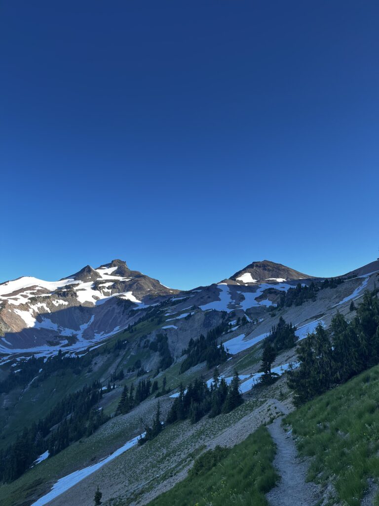
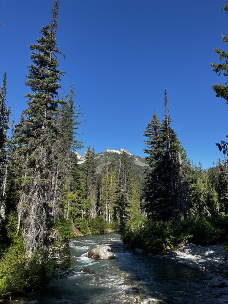
Washington started serving some pretty good views
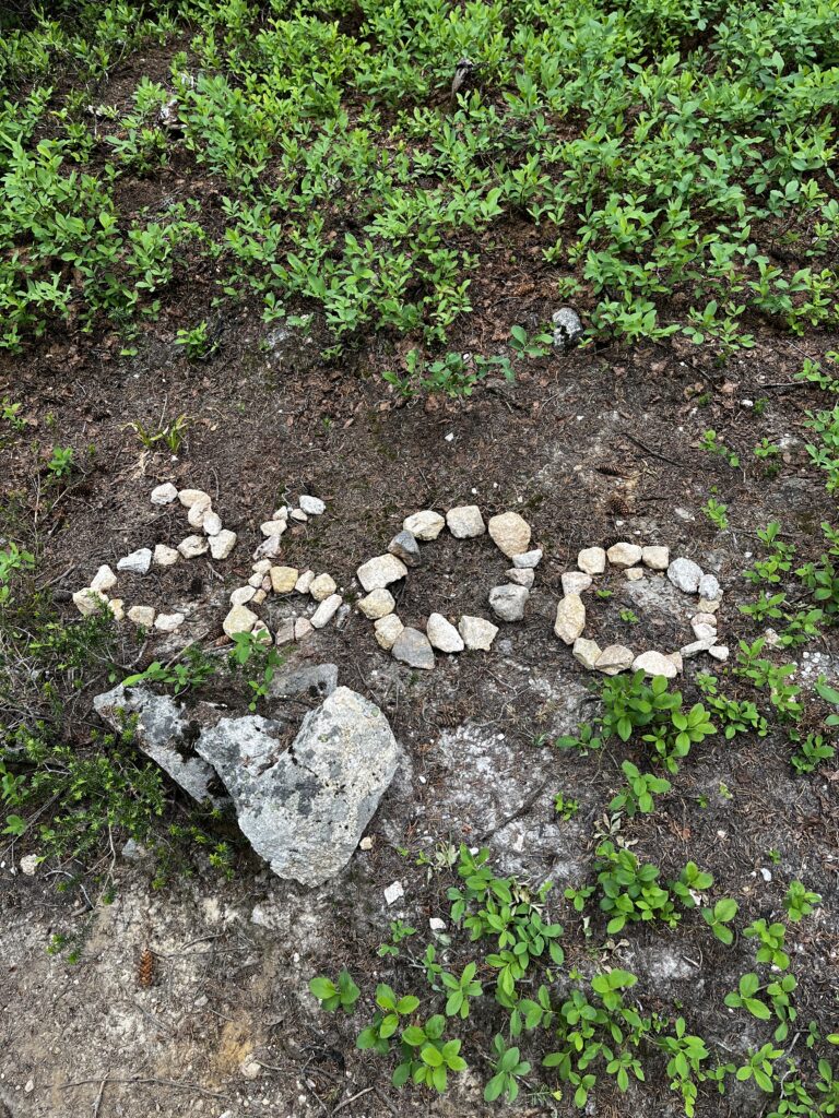
I had to repeat myself, I was back in the snow. Not for the whole day, but some sections were sketchy enough that I had to buy microspikes again, just to be safe. It was wild to think about, because these places in Washington aren’t that high, mostly around 6,000–7,000 feet / roughly 2,000 meters. But due to a late snow year, there was still a lot of snow in mid to late July. it definitely made the hike harder but honestly, the views were incredible. I really enjoy the snow, it challenges you physically, but it’s so worth it for the scenery.
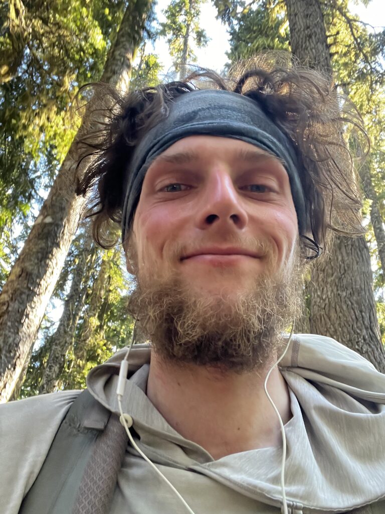
It was weird purchasing my last pair of Hokas because that was my 5th pair for the trail. I knew I’d be finishing with these, and that just made it feel real, the end was near, only 2 weeks away. There was no doubt I was going to make it but it felt like this trail had become my life. Some days were extremely hard and on others I questioned whether it was even worth it. I kept asking myself why I was doing it. In the end, though, I realized that in general I just like hanging outside and spending time outdoors.
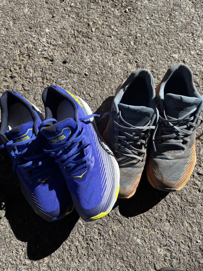
My shoe selection was simple. I was just looking for size 13 US (EU 48) and the cheapest Hoka Torrent version available. Every time I got a new pair, it would be a different color.
It that the American way of walking the dog?
I was already getting sick of the food I had purchased back in Oregon and shipped ahead. I was still eating it, of course but after a month of cheap, high-calorie, low-quality food, I don’t know, I’m just glad my teeth didn’t fall or anything. Honestly, 4 to 5 months is probably the maximum I could handle that diet before going crazy.
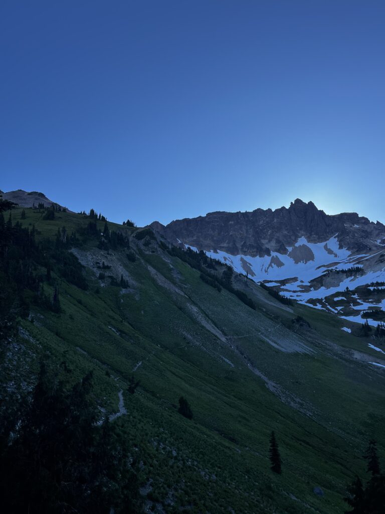
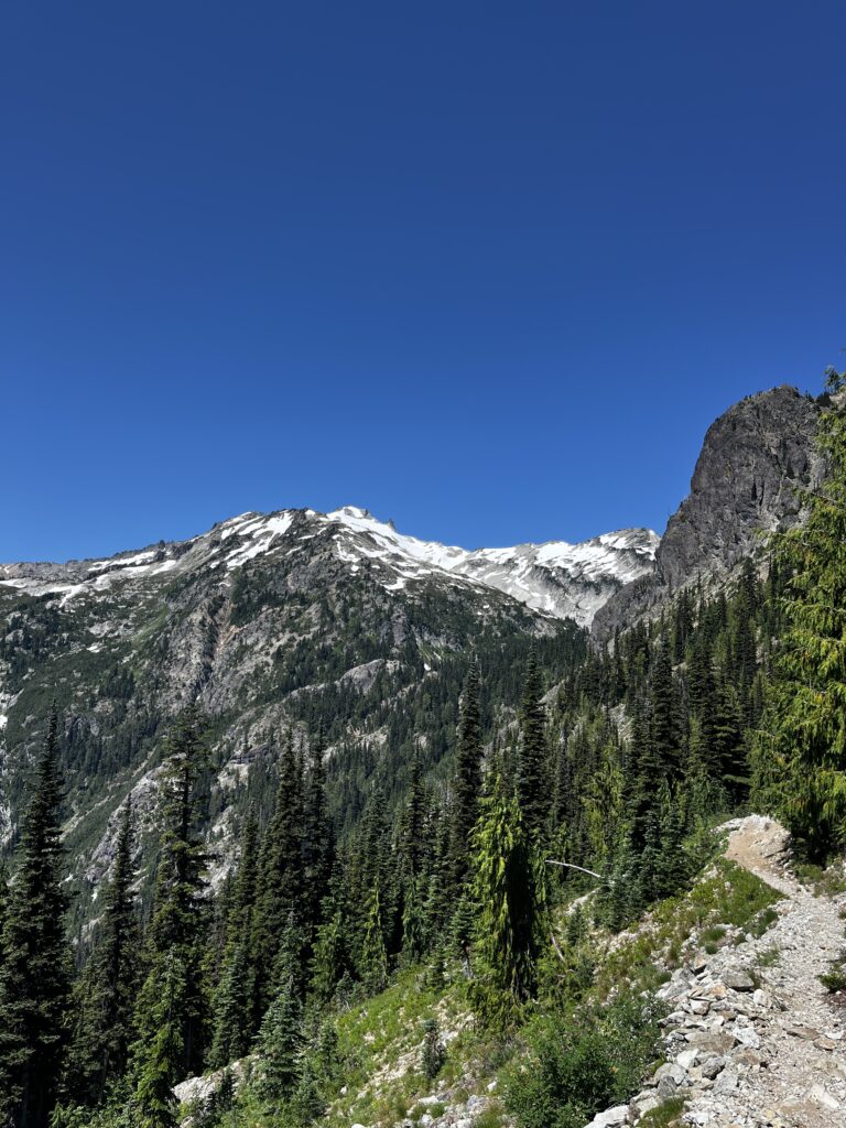
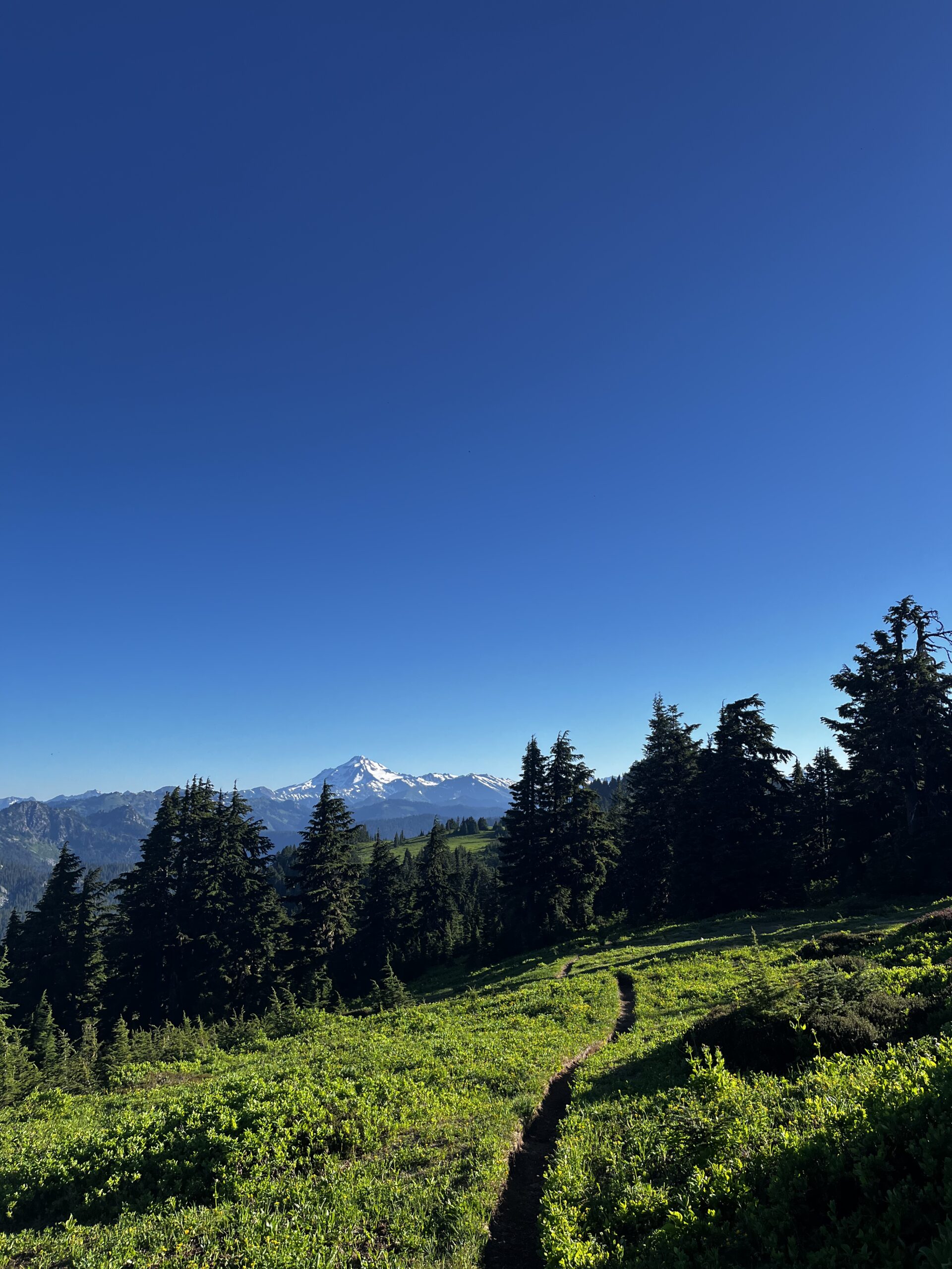
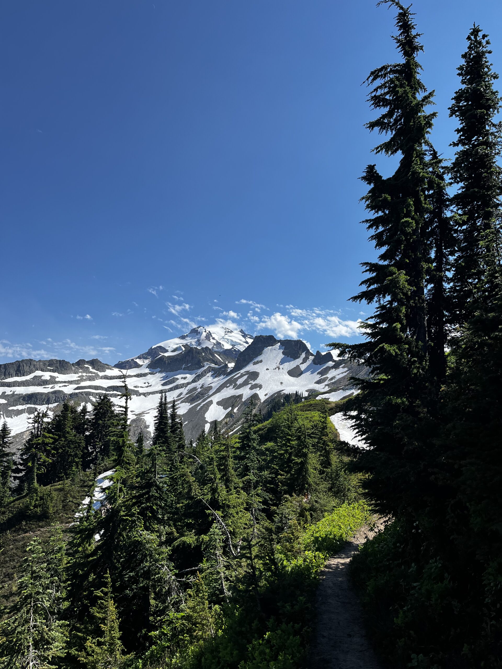
I really enjoyed the Northern Cascades and northern Washington in general. There were always mountains in the background—Mount Adams, Rainier, St. Helens… I don’t even know which was which at this point, but overall, it just felt amazing. The days were hot, there was still snow in places, but I loved that the mountains were always there, keeping the scenery interesting.
Brutal climbs
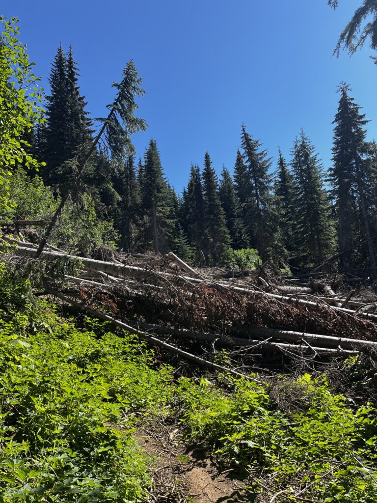
Compared to the rest of the PCT, excluding the time spent on snow, Washington had pretty rugged terrain. Sometimes you had a solid day of climbing, but at the same time, there was a lot of slippery rock, blowdowns to navigate, and paths you had to search for while getting your feet wet again. That was hard. Going through my notes, I can see days where I was climbing 7,000 or 8,000 feet over 27 miles. Those were hard days. They felt significantly harder than they should have if the trail was proper. It felt like a mental exercise to find a way to get over every obstacle ahead of you.
The only way to cross is just go straight through it
So apparently there hasn’t been any gear failures for a while. Well, that’s not true. My backpack started ripping apart, so I had to sew it up together with just a needle and a thread. It held up for a little bit but overall I do not recommend the Gossamer Gear Mariposa backpack for anybody who wants to use the backpack after the trip. It might hold up for 1 thru-hike but is that enough? This is the sad reality of the hike, I guess, and the gear that comes with it.
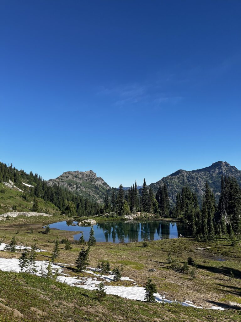
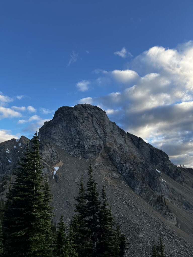
Views, views, views
There’s not much I can say about the Northern Cascades in Washington, except that they’re absolutely stunning. The views were everywhere and the weather was perfect since I was there in early August, completely different from those who start later and reach the area in October when it’s rainy most of the time. I really enjoyed the experience. There weren’t many people on trail. I’d meet someone occasionally or hike with a small group for a day or two but mostly it was just peaceful. Here are plenty of pictures and videos capturing what I saw.
Stehekin
Day 128 was the hardest day on the trail for me, even though I didn’t reach Stehekin until day 129. I poured everything I had into that push 35 miles / 56km with roughly 7,000 ft / 2,100m of gain but the real challenge was navigating hundreds of blowdowns. Those are massive fallen trees that I had to climb over or crawl under. My knees were screaming. I had a bigger goal in mind for the day, but it was just so tough to keep moving. At times, I wondered if I’d really gotten stronger over the course of the trail, though of course I had. That day, I just focused on surviving each step. The next morning, I started slower, giving myself a mental reset and some time to rest. Eventually, I made it into Stehekin, a unique town you can only reach by plane or ferry which explains why this stretch of trail feels so remote. The forest here is old and dense, adding to the sense of isolation.
While in Stehekin, I ran into some hikers I’d met earlier in Washington. They tried to guess where I was from, and I told them if they couldn’t get it in five tries, they owed me a bottle of wine. They failed, so I got the bottle and drank the whole thing before going to sleep. That’s trail life in a nutshell.
Leaving Stehekin, I got some unexpected views as well. I knew that the North Cascades, being so remote, are populated with some bears and even grizzlies, but just seeing a couple of cubs and other bears running in front of me, 10 meters away, was pretty spectacular.
Not to mention, he has a bakery that really slaps. I was super excited to grab some treats—definitely spent more than I planned, but it was worth it to treat myself.
I took my last resupply box into Stehekin, and honestly, that weighed a lot. I feel like I had 13 pounds of food which is 6 kilos for 2.5 remaining days. That was outrageous. And you know what was the funniest thing? I ate it all.
Last days on the PCT
The last days on the trail were misty, but beautiful with the sun coming out as well. To be honest, I don’t know. For me personally, there wasn’t a “spark” moment or anything like that. I was extremely happy with myself and satisfied with the accomplishment but it didn’t feel like the end. I felt like I could have just kept going for hours and days. I feel like I don’t have a proper conclusion for this. I wish I had but I don’t.
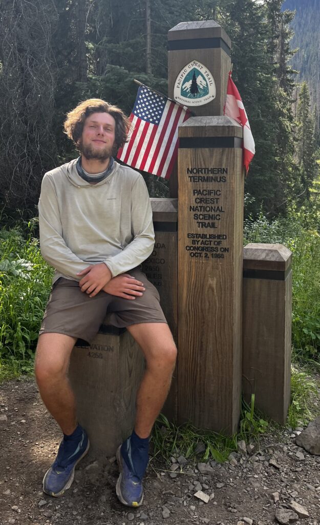
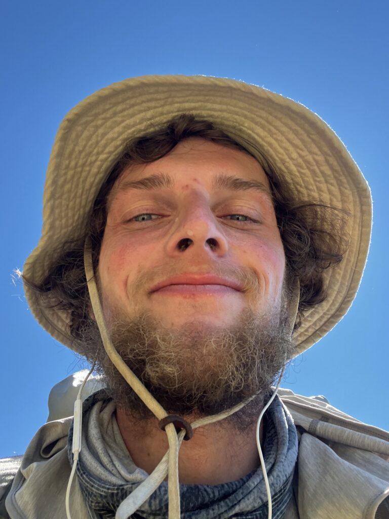
At the end, I had a small single shot bottle of Fireball, which I drank at the terminus. I peed in Canada as well. That was funny, but then I had to backtrack 30 miles to Harts Pass, from where you can actually hitch out of this area because you couldn’t enter Canada by just directly walking into it. That was nice. As you can see, I had a smirk on my face. I was proud of myself.
I was extremely lucky to have completed the Pacific Crest Trail on a continuous footpath. I didn’t skip any sections. I did it in a sense that made sense for myself. I stayed with people when I wanted to stay with people, and I challenged my body when I could challenge my body. To be honest, after everything I’ve done since, I feel like the Pacific Crest Trail is probably the nicest long-distance thru-hike you can do.
Stats
In Washington, I knew that I was ahead of schedule and I would be the one waiting for my friends coming to Vancouver. So I just took a chill pill and took some more “Neros”, those days where I only hiked half the day. But to be honest, I haven’t had a single day when I did not hike since finishing the Sierras. That means I completed this entire stretch without a single stop.
Washington Totals: Distance: 517 miles (831 km) Time: 18 days Elevation Gain: 97,812 ft (29,808 m)
Washington Daily Averages: Distance: 28.71 miles (46.19 km) Elevation Gain: 5,434 ft (1,656 m)
Post-Sierra Totals: Distance: 1,568 miles (2,523 km) Time: 54 days Elevation Gain: 301,049 ft (91,668 m)
Post-Sierra Daily Averages: Distance: 29.04 miles (46.72 km) Elevation Gain: 5,575 ft (1,698 m)